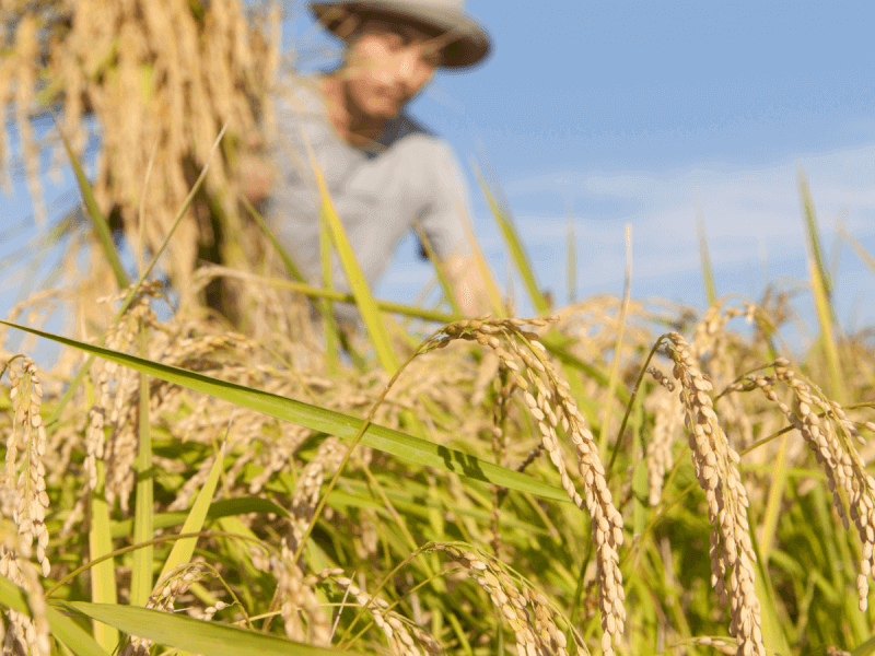
Why it matters:
Traditional insurance systems often require slow, manual field inspections after calamities. The new model uses remote sensing and real-time data to automatically trigger payouts based on measurable weather conditions—particularly wind speeds during typhoons—cutting settlement time to just three to five days.
"This innovation will usher in a faster and more objective claims settlement system," said PCIC president Jovy Bernabe. "It protects farmers and strengthens the resilience of our agricultural sector."
How it works:
PCIC uses georeferenced farm data and satellite imagery to verify crop presence after planting.
During typhoons, weather data on path and wind intensity identify affected areas.
Once the storm exits, the system calculates payouts based on pre-agreed damage and indemnity factors—no need for inspectors to assess individual farms.
Between the lines:
While the system doesn’t replace traditional indemnity-based insurance, it significantly reduces delays and introduces transparency. Bernabe calls it a hybrid model—combining automation with conventional methods to deliver a more efficient and equitable disaster response.
What they're saying:
Agriculture Secretary Francisco P. Tiu Laurel Jr. said the program could be a game-changer in disaster recovery for farmers:
"Timely insurance releases keep farmers producing. This aligns with President Marcos’ vision for a resilient, food-secure Philippines."
What’s next:
A pilot test of the parametric insurance product is set for the 2025 wet season cropping. PCIC has already built the digital infrastructure through training partnerships with PhilSA and PhilRice.
The bottom line:
By merging satellite tech, weather analytics, and automation, PCIC’s parametric insurance redefines agricultural support—offering speed, reliability, and dignity to farmers when they need it most. —Ed: Corrie S. Narisma